Cost to build
$1.5million
Length
11.1km
Visitors to date
92,887

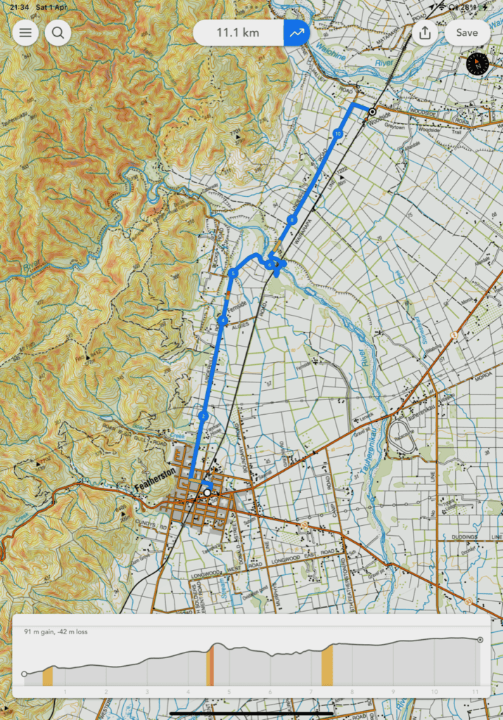
Location and Elevation of the Tauwharenikau Trail
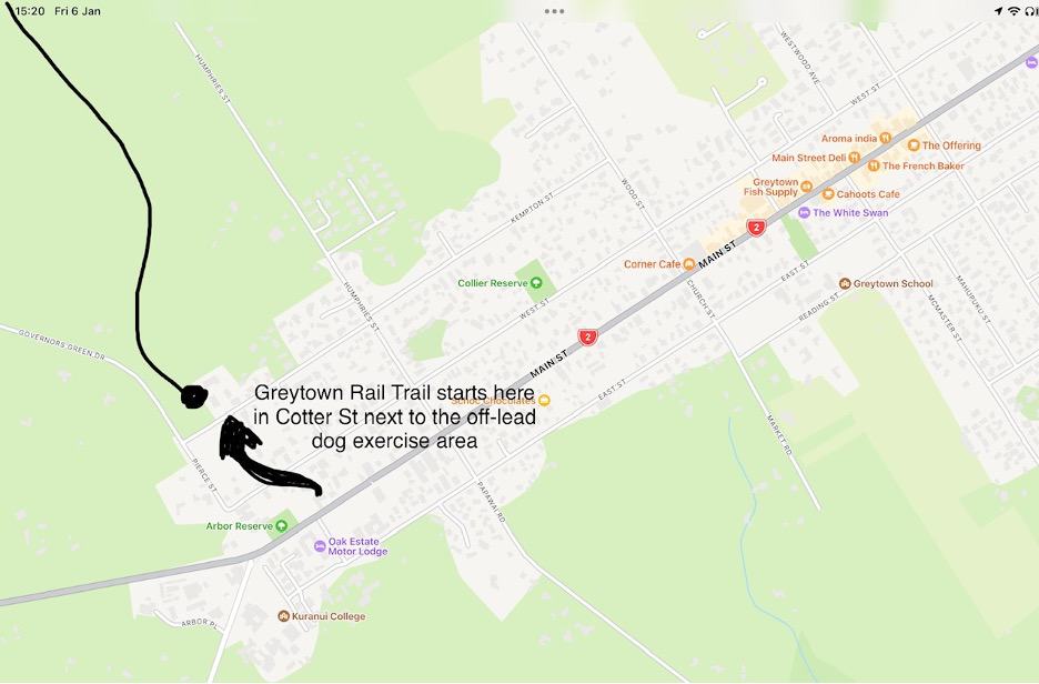
The success of the Greytown Rail Trail has sparked a wider discussion about creating a network of cycle/walking trails throughout the entire Wairarapa valley. Working with a planning group known as “WAITAG” (the Wairarapa Trails Action Group), a plan for trails throughout the region has been developed. To read more about the plan, visit the Wairarapa Five Towns Trail website.
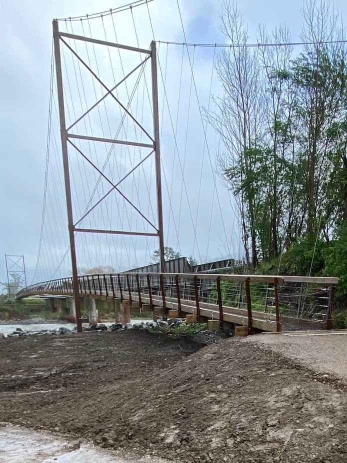
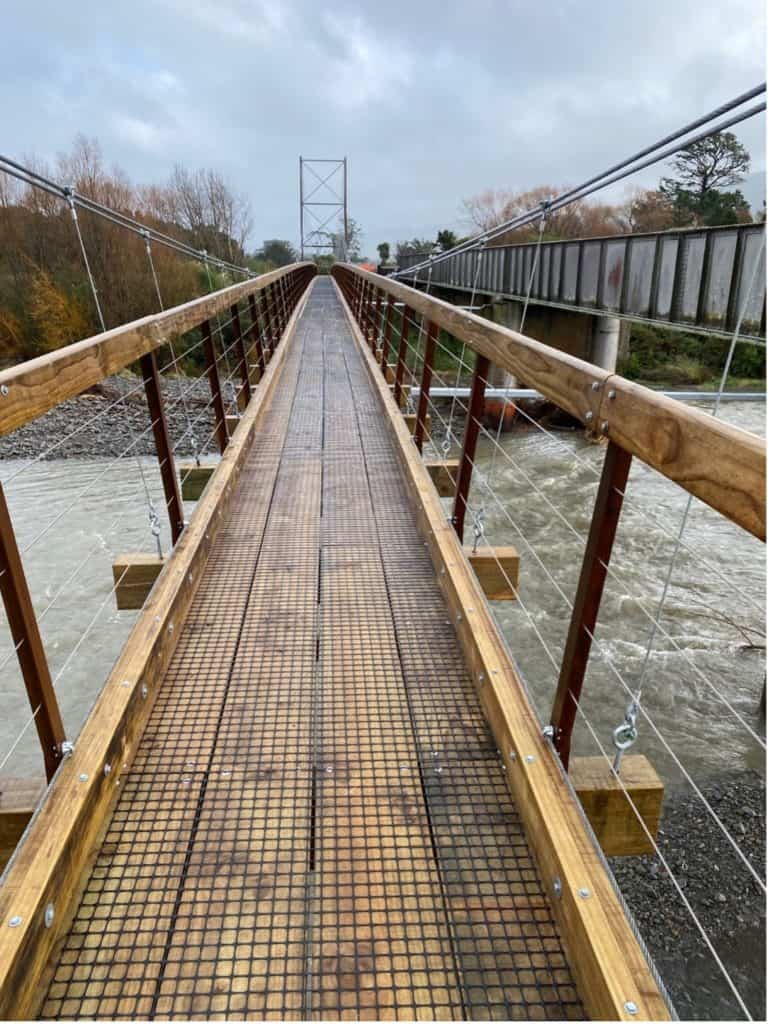
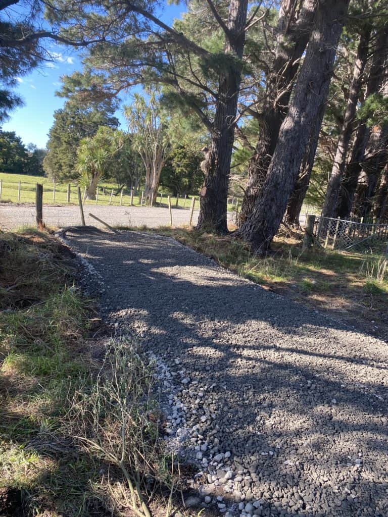
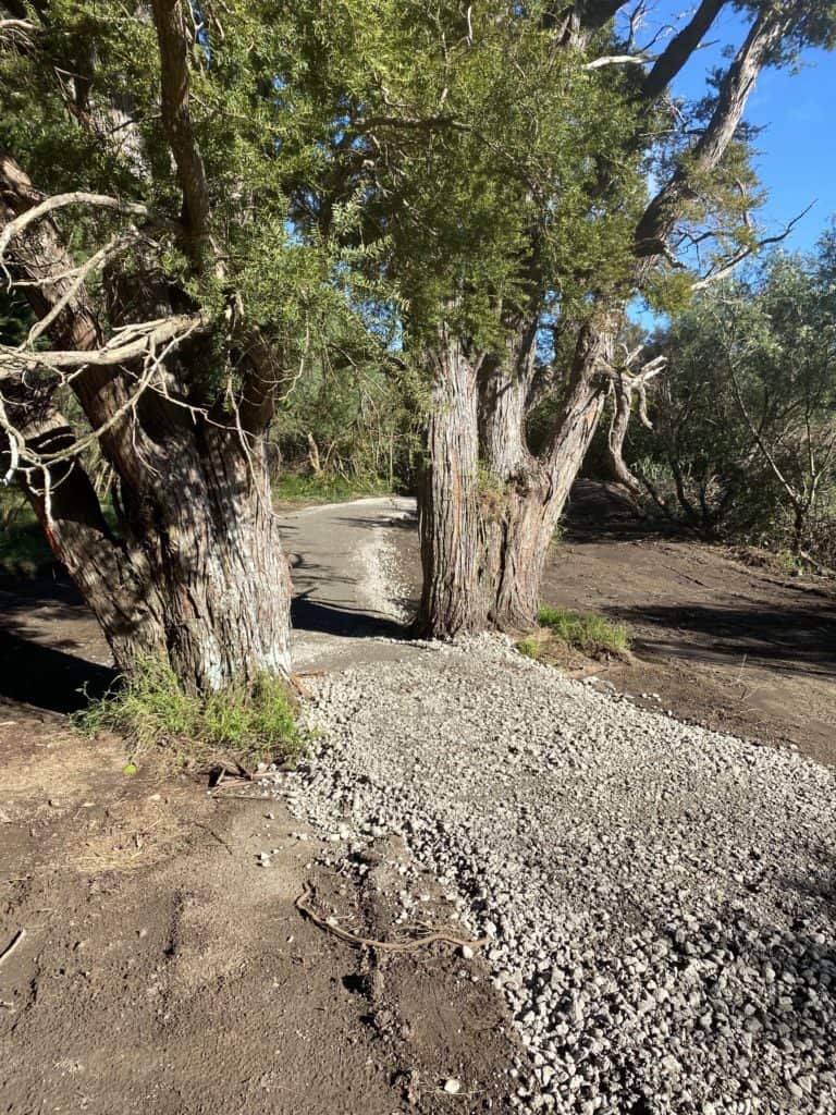
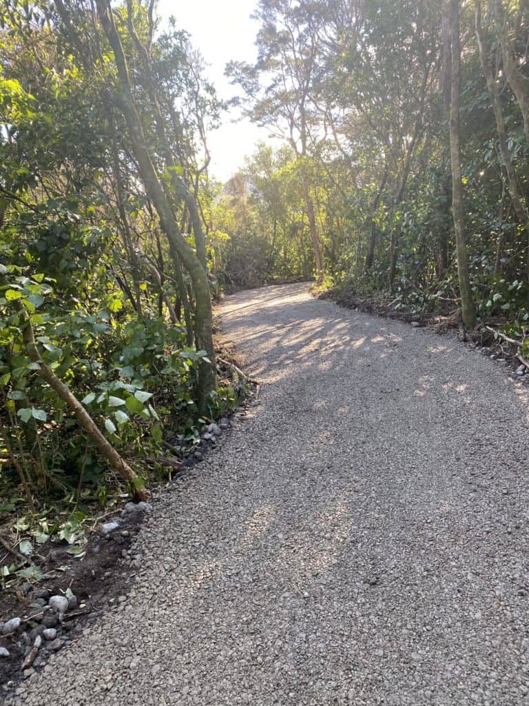
The first leg of that plan joins the Greytown Rail Trail with a new section to Featherston. The trail uses quiet, mostly gravel back roads, off road trails, and a new bridge across the Tauwharenikau River. The bridge is one of the longest cycle path suspension bridges in the country. Located in a high wind zone and braced to a large rail bridge, the Tauwharenikau bridge posed real challenges for design and construction.
The Trust wanted to ensure that the development cost did not place a burden on the ratepayers of South Wairarapa District council. Funding for the bridge and new off-road trails was secured in 2020 as part of a government initiative to develop regional infrastructure. Construction was completed at the end of 2022.
The new trail enables users to travel safely from Clifford Park in Featherston to Woodside. There they join the Rail Trail to Greytown without competing with heavy traffic on State Highway 2.
Tauwharenikau Trail Usage
People are increasingly visiting the new Tauwharenikau Trail. Now that it’s no longer a construction zone, we can share user numbers from when the counter was first installed. Again, the early popularity is stunning – we thought we might get 5000 users in the first full year, increasing to 10,000 annually over the next year or two. Imagine what the user numbers will be when the trail leads to a network extending throughout the beautiful valley where we live.

